Sunday Photo – East Side of the Vinson Massif, Antarctica
This is a photo from a 2000/01 trip to the interior of Antarctica to climb the continent’s high point, the Vinson Massif.

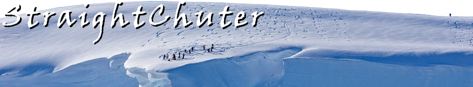
- Flags over the Flower Hills “landing strip.” Rat-a-tat-tat, hang on to your hat!
A big component of this trip (actually, the main component of this trip) was to make a film for NOVA while hopefully completing a first ascent of the mountain. To do this, we had to find a new landing spot on the east side of the range and see if the pilot could pull it off. We flew in two Turbine Otter’s (nicknamed “Twotters”) so that we could film one from the other. I was in the film plane with the sound and camera guys and they had removed the door and fixed a tripod so they could get clear shots. This meant we were wearing harnesses and staying clipped-in while flying as the door was just a gapping hole.
As we flew around, we found the approximate area where we wanted to land and the pilot, a very quiet Inuit man, made a first pass over the zone coming within about ten feet of the snow, which was a an endless field of rough 12 – 18″ tall frozen sustrugi. I assumed he’d circle around to find a smoother spot, so I was surprised a moment later when he circled around and told us to hang on tight. It suddenly dawned on me that he was actually going to try and land there. !!! At the end of the slightly uphill facing sustrugi field was a big rock, and beyond that, an even much bigger cliff. I was fairly gripped about the next 60 seconds of my life.
As the plane came in for the landing, we could see the snow getting closer and closer through the open door, until suddenly…. WHAM WHAM WHAM WHAM! I couldn’t believe the violence of the landing, but he pulled it together and we survived, although I was sure the plane was going to be somehow damaged (it wasn’t). We jumped out and did a round of high fives, but the pilot wasn’t saying much. He ended up radioing the other pilot to tell him that it was a really rough landing and he should try an area a few hundred yards away, which they did, for a nice smooth landing. After about ten minutes, our pilot finally spoke and said “The was the second roughest landing I’ve ever had, and I crashed on my first roughest.” Yikes! We asked him why he chose to land there and he said it was because that was the spot we had pointed out on the map the day before. Seeing how we were about to walk, ski and climb 30ish miles, a few hundred feet one way or another would have been fine.
But, all’s well that ends well.
Behind me (I took this photo), the nearest “town” is the South Pole, which is roughly 500 miles away.
________________________________
Help support StraightChuter.com and get a monster load-hauling Mountain Hardwear South Col Backpack from Backcountry.com! Click on the photo below…


Category: Sunday Photo


Good thing you had the prayer flags along with you……